Sceye
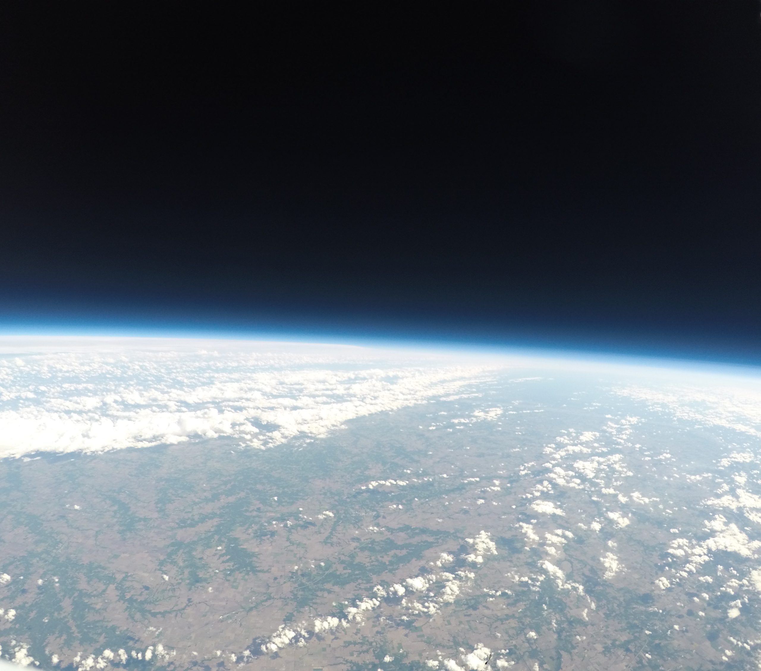
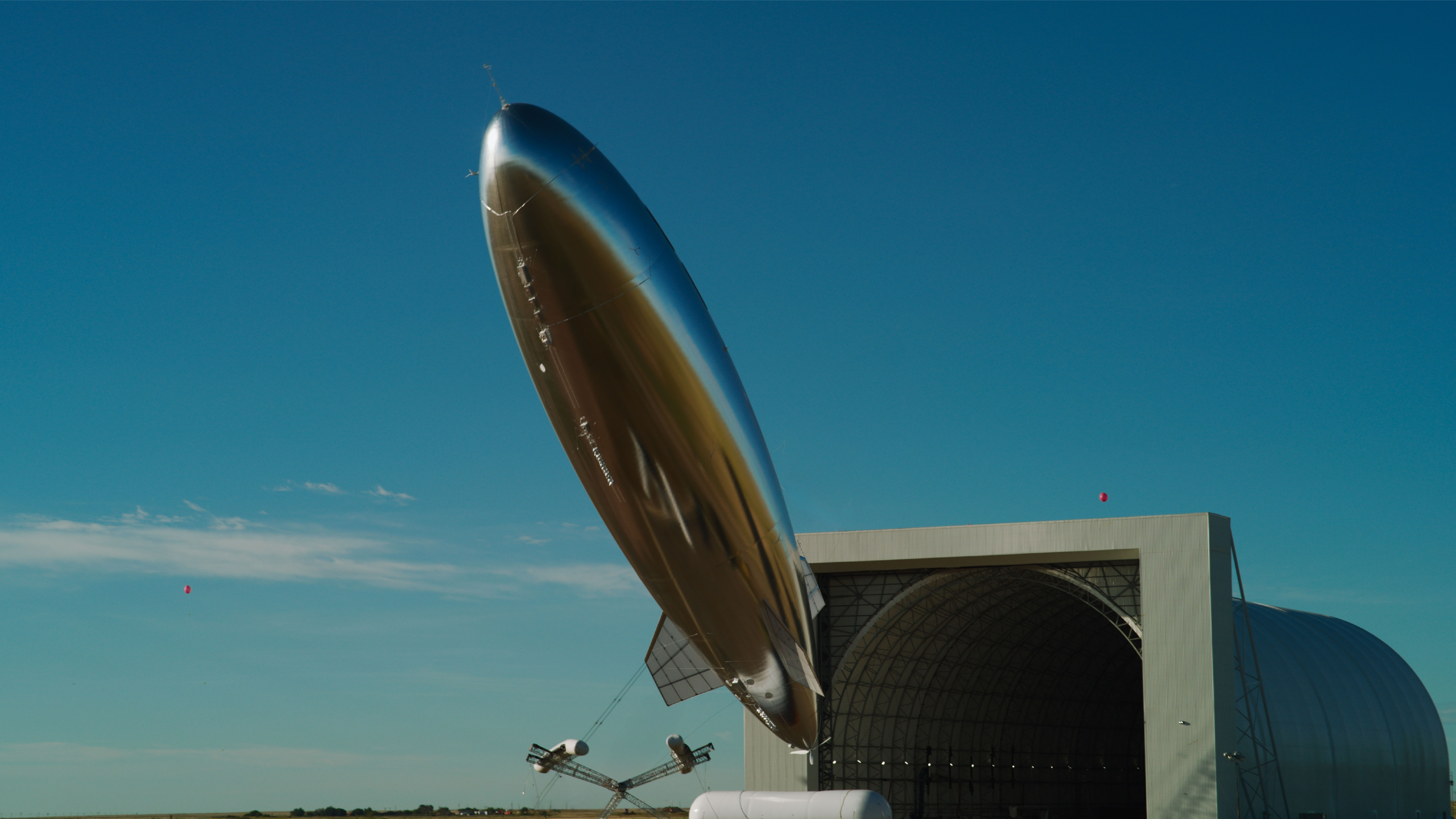
At 8:26 on the morning of March 25, 2026, a silver High Altitude Platform System (HAPS) rose from a launchpad in Roswell, New Mexico and climbed more than 52,000 feet into the sky. Over the next 12 days it traveled 6,400 miles, crossing the Caribbean and skirting the Lesser Antilles before arriving off the coast of Brazil, where it locked into a tight area of operation.
Anchored in place for three consecutive days and nights, the HAPS ran on solar power throughout the day and on batteries throughout the night. No platform had ever held its mark in the stratosphere for so long.
The flight, known as Sceye Endurance-2 (SE-2), signaled a turning point in a century-long pursuit. The stratosphere has long held untapped promise for global infrastructure, but every attempt to capture it has failed the same fundamental test: endurance. Balloons drift with the wind. Fixed-wing aircraft must keep moving to stay aloft. And the environment itself, with changing winds, intense radiation, and extreme day-to-night temperature swings, wreaks havoc on avionics and physical materials.
SE-2 withstood it all, maintaining uninterrupted power and holding stable pressure across every thermal cycle – the two engineering loops that defeated every platform before it. Now the company is poised to scale its flight-proven platform into a continuous, global utility.
Helena is a major investor in Sceye, accelerating its commercial transition into a widespread operational reality. By establishing 24/7 eyes over the horizon, Sceye is reclassifying the stratosphere from elusive scientific boundary to enduring safeguard for an interconnected world.
The Cost of Distance
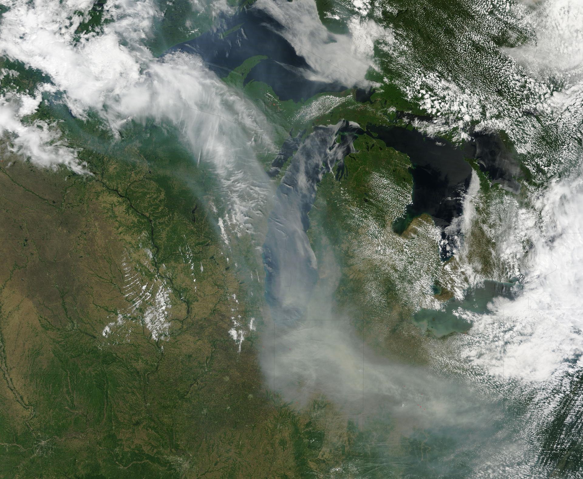
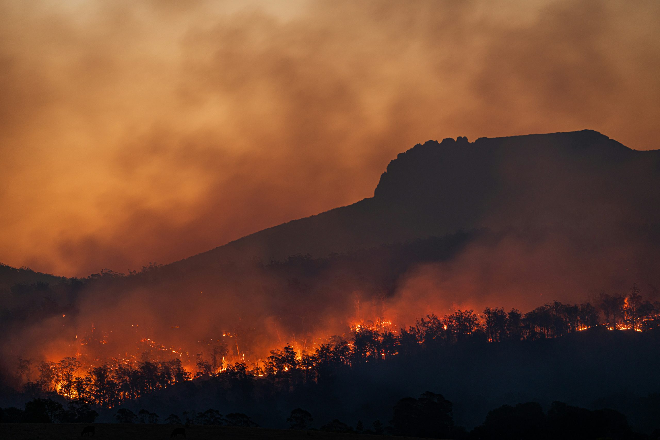
In 2025 alone, wildfires consumed 390 million hectares of land globally – an area nine times the size of California and nearly 90% of the entire European Union. The quantifiable damage is staggering: a single fire complex in Los Angeles County displaced 200,000 people and inflicted as much as $164 billion in economic losses. Much of the environmental destruction, however, remains impossible to calculate. Vast swaths of damage occur in remote, unmonitored ecosystems, such as central Africa, where wildfires have burned more than a quarter of Angola’s landmass. The blazes often ignite in near-total obscurity, a direct consequence of a massive vacuum in global surveillance. Traditional ground-based detection cannot reach these areas, and standard satellite passes leave massive blind spots, allowing sparks to grow into uncontrollable emergencies.
This critical deficit in atmospheric awareness mirrors a parallel crisis of human isolation on the ground. The digital “coverage gap” leaves 350 million individuals in rural, mountainous, or maritime regions without basic communication, health, or educational resources. Because installing terrestrial towers in harsh terrain is economically unviable, these populations remain outside the reach of modern connectivity. Solving this coverage gap through traditional buildouts would cost an estimated $418 billion, a figure that does not even address the “usage gap,” which leaves over three billion people unable to afford the networks that do reach them.
Where geography renders physical infrastructure unviable, strategic vulnerabilities inevitably multiply. Across the world’s borders and maritime corridors, sovereign security and essential utilities remain dangerously exposed. Modern society relies on highly concentrated, vulnerable networks; when subsea fiber-optic cables are severed with no warning in the Red Sea or the Baltic, international data highways instantly fracture. Similarly, across millions of square miles of open ocean, illicit trafficking and illegal fishing fleets routinely evade detection, slipping through the blind windows between satellite passes.
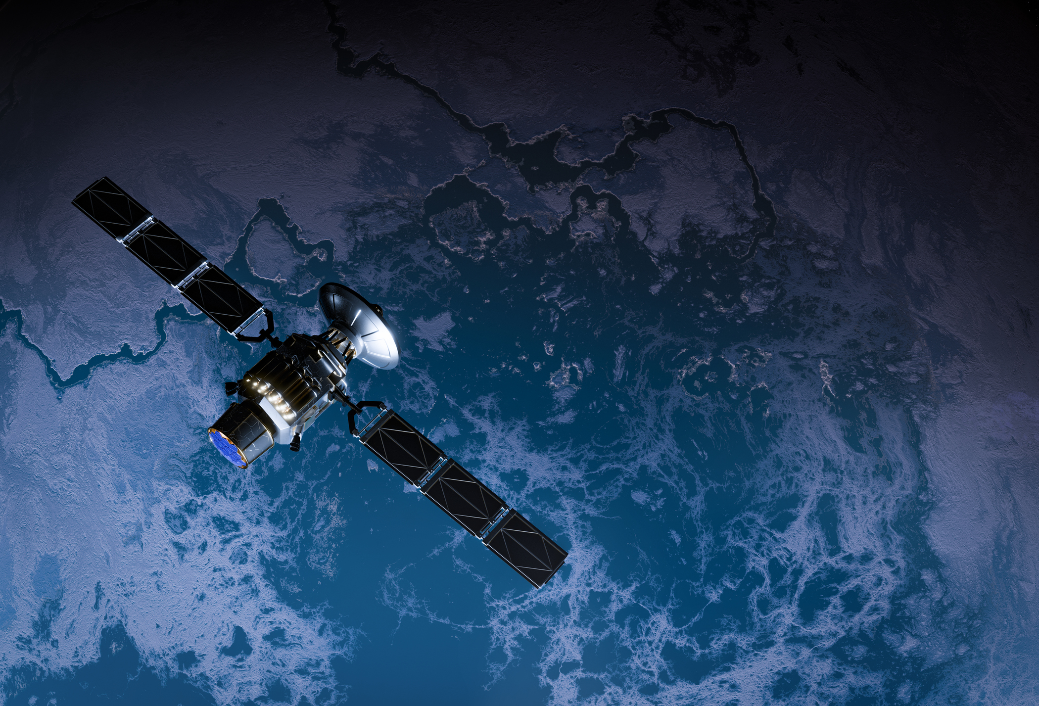
Global networks rely heavily on space-based satellites as a catch-all solution for everything from fire tracking and internet delivery to border surveillance, critical infrastructure tracking, and maritime threat detection. But capturing real-time, actionable data from orbit encounters hard physical limits. Satellites in low-Earth orbit (LEO) sit approximately 300-500 kilometers above the surface and move at about 17,000 mph, meaning a single satellite can capture only fleeting snapshots of any given location, requiring entire constellations to provide coverage consistency. Geostationary (GEO) satellites solve the persistence problem by holding a fixed position, but their altitude of roughly 35,000 kilometers creates significant free-space path loss, higher latency, and lower-resolution imagery. Weather in the lower atmosphere, including clouds, rain, and snow, can also disrupt data transmission between the ground and orbit.
The world needs an infrastructure layer that combines the wide-area vantage point of space with the high resolution and powerful signal strength delivered closer to the ground.
A New Tier of Global Oversight
The solution to these disparate global crises lies roughly twelve miles overhead. Humans have been exploring the stratosphere’s potential for over a century.
French meteorologist Léon Teisserenc de Bort discovered the layer in 1902 using unmanned weather balloons affixed with meteorographs. He shocked the scientific community by proving that atmospheric temperatures level off precisely at the boundary of this upper layer. The discovery immediately revealed the stratosphere’s capacity to serve as an elite observatory for data-gathering and monitoring. In 1931, Belgian physicist Auguste Piccard launched the first manned venture into the zone, ascending to 51,775 feet in a pressurized aluminum gondola of his own design. “My aim,” he said, “is not to beat records … but to open up a new zone for scientific research and air navigation.”
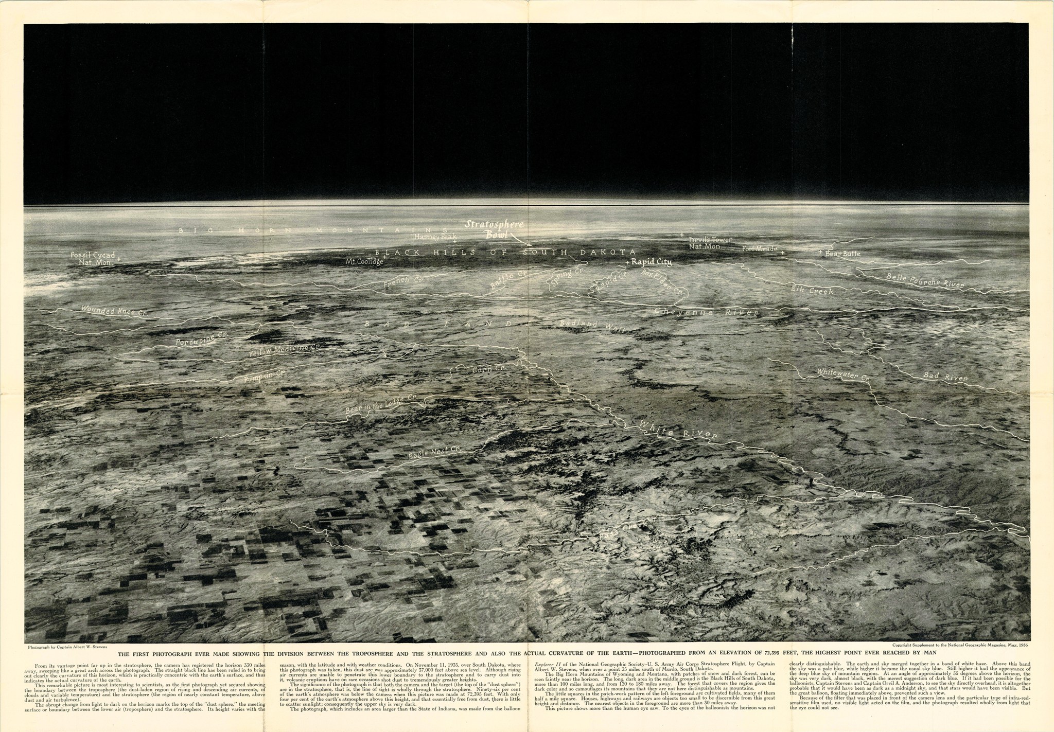
His words proved prescient. Just four years later, a manned balloon flight captured the earliest images of the Earth’s curvature.
In 1957, as part of the International Geophysical Year, scientists established a global network of ground-based ozone measurement stations, providing the first coordinated view of stratospheric dynamics. Nearly three decades later, the British Antarctic Survey leveraged its findings to expose a shocking 50 percent plunge in ozone levels above Halley Bay, sounding an urgent planetary alarm. The revelation galvanized an immediate diplomatic response; in 1987, nations signed the Montreal Protocol, phasing out the production of ozone-depleting chemicals in what remains one of the great examples of global cooperation.
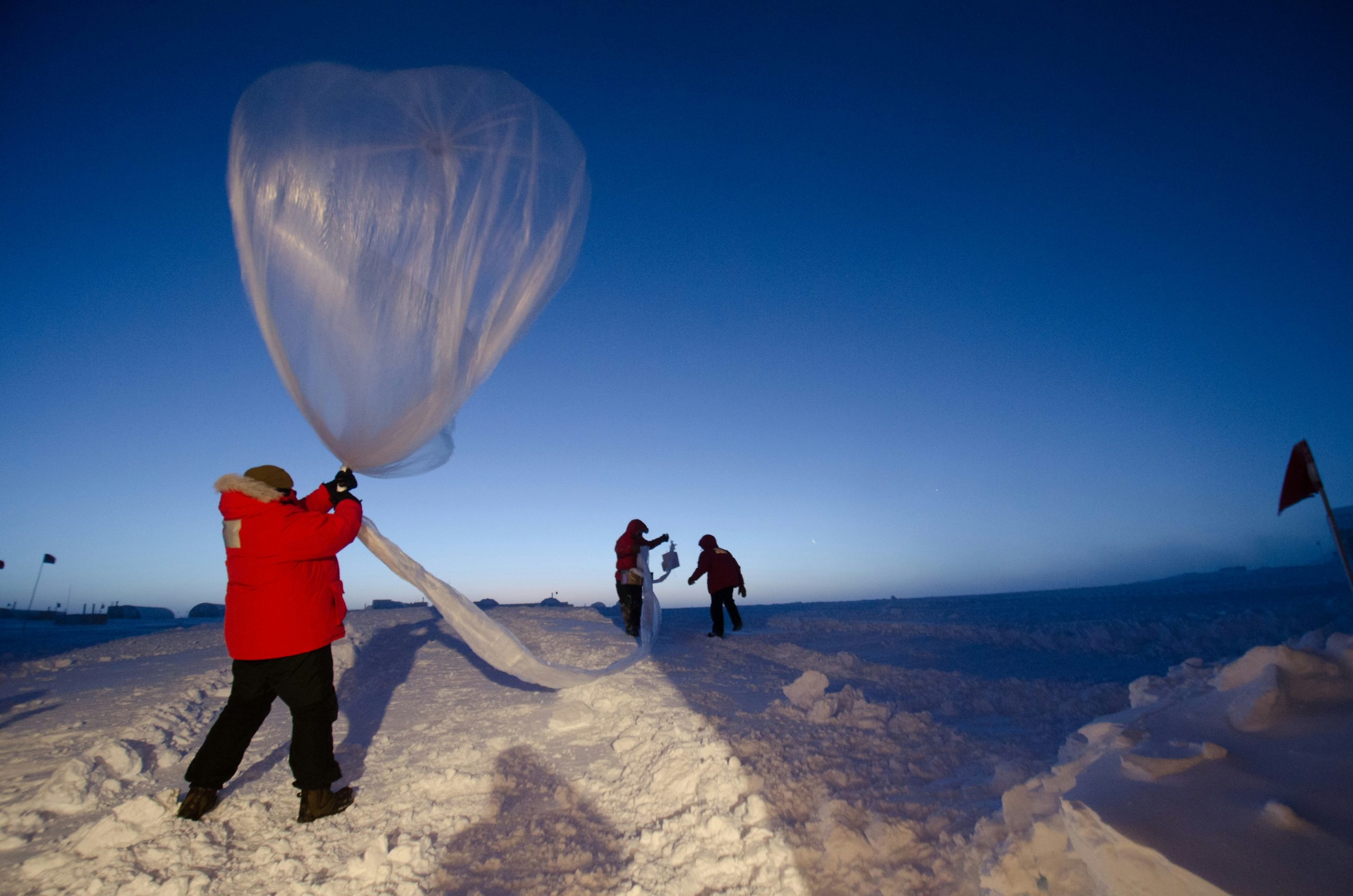
With few exceptions, stratospheric balloons have been our primary source of information on everything from cosmic rays to climate change. The field advanced dramatically in 1924 with the radiosonde, a small, lightweight instrument that tracked atmospheric conditions and transmitted data via radio signals, eliminating manual retrieval. Today, meteorologists launch around 1,800 weather balloons daily.
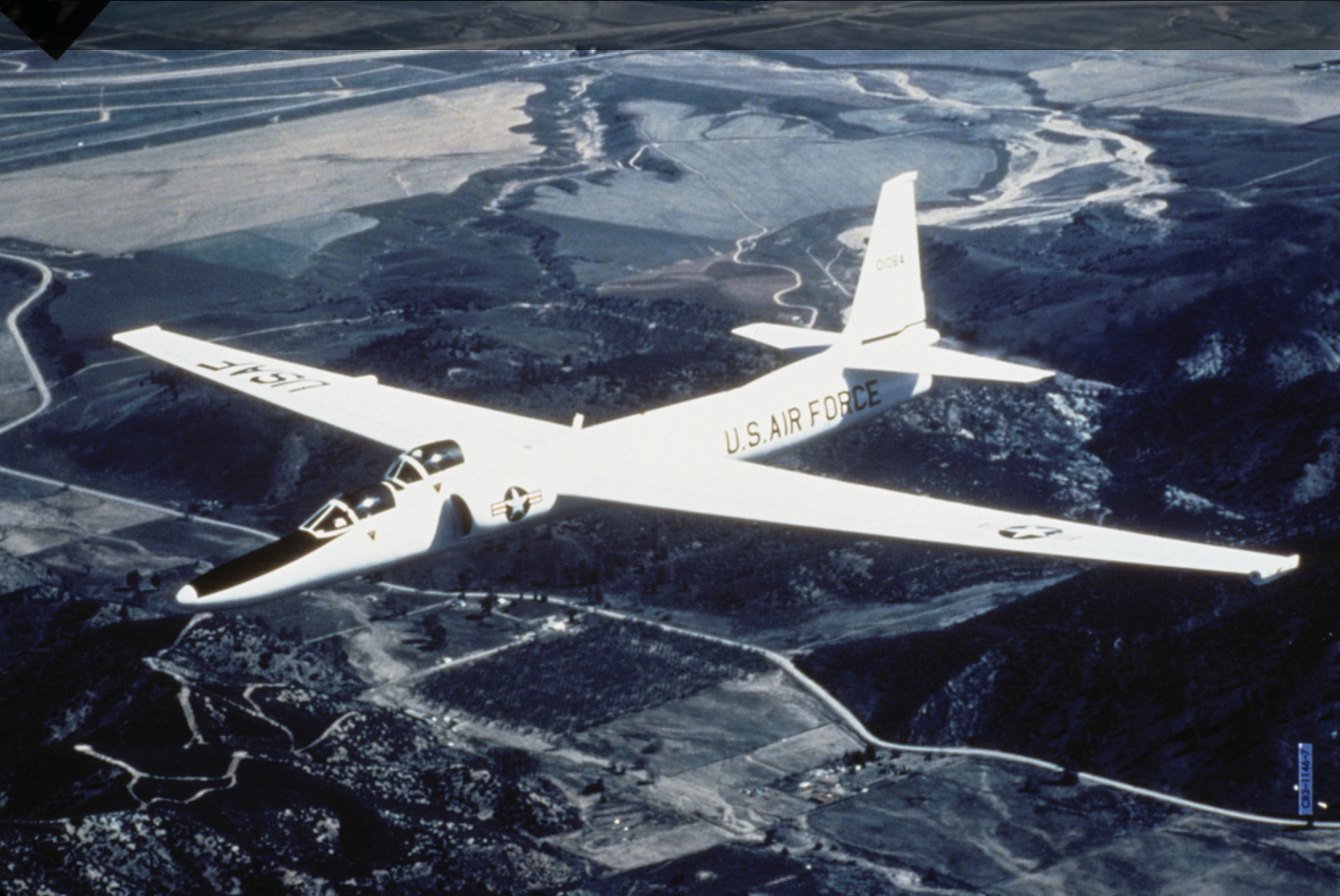
The military took note, as well. Shortly after World War II, the US Air Force and CIA commissioned Lockheed to design a data-gathering aircraft that could reach 70,000 feet – above the range of Soviet jets, missiles, and radar – and stay there for 12 to 14 hours. In 1955, fresh from Lockheed’s famous “Skunk Works” division, the U-2 aircraft took off for its first test run. Armed with an array of cameras and sensors, the aircraft has operated for more than 70 years, undergoing several fleet refreshes over its lifespan.
More recently, the telecommunications sector has turned its attention skyward. Existing terrestrial infrastructure already brings a remarkable 96% of the world’s population within range of a mobile signal (though accessibility is still limited by the usage gap). But the remaining 4% represents a massive population; they live in isolated mountain ranges, dense jungles, or maritime regions where harsh terrain blocks traditional coverage and sparse populations make tower construction and maintenance commercially untenable. Ultimately, a society increasingly dependent on digital connectivity risks leaving these underserved communities entirely behind. While satellites bridge some gaps, their extreme distance weakens transmission signals as they travel, drastically diluting the reliability of the network they provide.
Here again, the stratosphere holds incredible promise. But despite the myriad breakthroughs it’s afforded, its full potential remains locked behind a single engineering problem: stasis. Weather balloons capture vital data but inevitably pop; advanced detection planes offer unrivaled clarity but must eventually land; in order to provide uninterrupted last-mile telecommunications to isolated populations, aircraft must remain anchored over a single coordinate. Solving these challenges requires a platform that can survive the harsh physical realities of the upper atmosphere and hold its ground indefinitely.
The Physics of Persistence
To transform the stratosphere from a fleeting vantage point into permanent infrastructure, the global aerospace industry has long pursued HAPS – unmanned craft designed to maintain a fixed coordinate while carrying heavy payloads for monitoring and connectivity.
But sustaining a continuous presence hinges on solving a complicated environmental equation. A successful platform must withstand 100 km/h winds, survive intense solar radiation, endure 100°C day-to-night temperature swings, and generate enough independent power to run for months at a time. Over the last two decades, the world’s largest technology and aerospace companies have spent billions trying to operate in this zone, only to expose a fundamental mismatch between traditional vehicle designs and stratospheric physics.
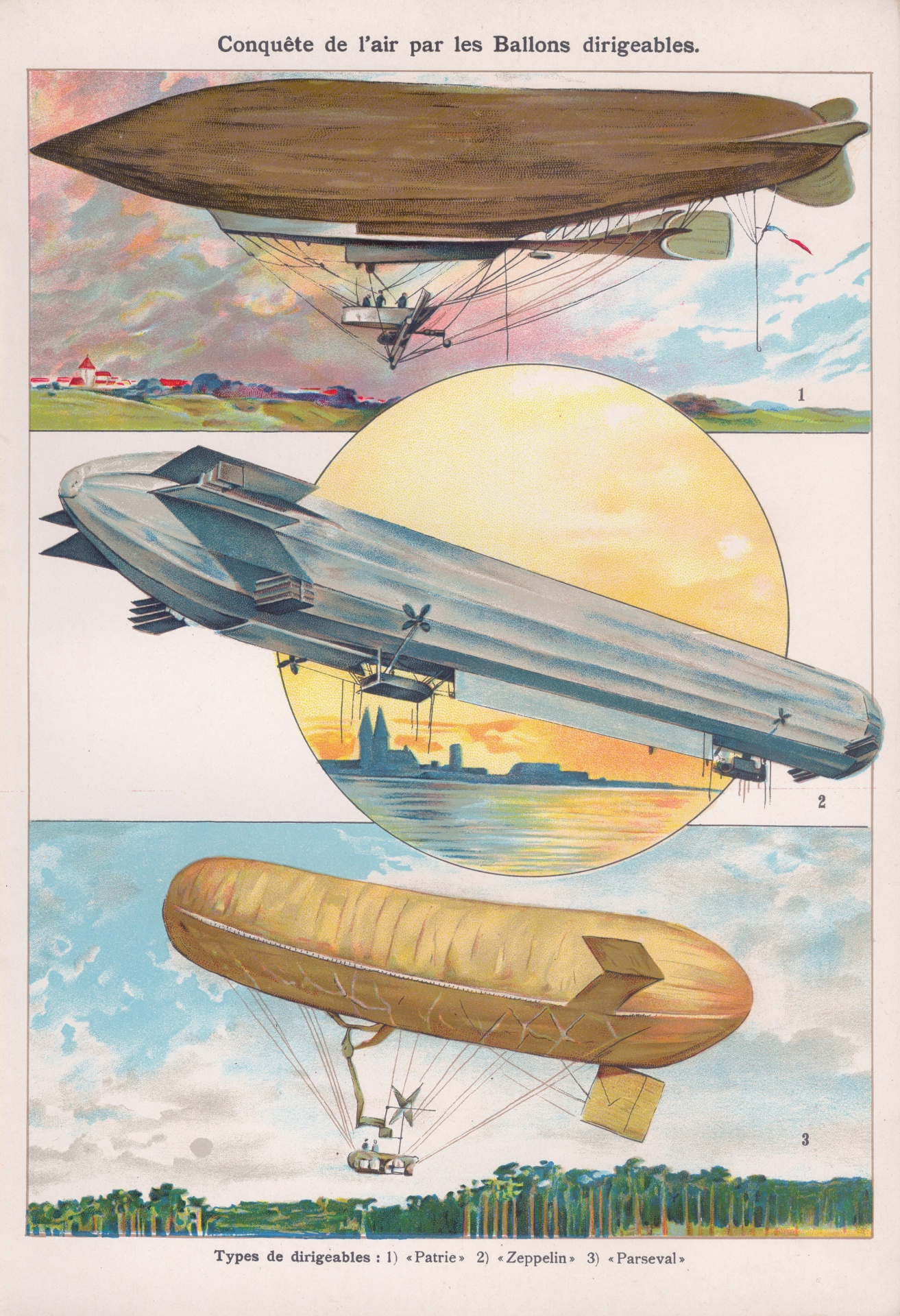
Historically, engineers have modified three standard vehicle types to conquer this layer: fixed-wing aircraft, unpowered balloons, and traditional airships. Each collapsed against a different limit.
The payload problem. Fixed-wing solar drones rely entirely on sunlight to stay airborne, a constraint that demands extraordinary lightness. Facebook pursued this path with its Aquila project, but strict weight restrictions left the aircraft virtually no capacity to carry heavy equipment; it shuttered the program in 2018 after just two test launches. Even Airbus’s record-breaking Zephyr drone illustrates this severe constraint. Weighing just 70 kilograms, it carries a mere five-kilogram payload, falling far short of working infrastructure demands.
The steering problem. To bypass these weight limitations, other engineers turned to heavy, unpowered balloons that can lift substantial payloads by relying on buoyancy. Alphabet’s Google Loon project famously attempted this approach to extend LTE networks across rural Kenya. Though the project achieved notable technical milestones, including a single balloon remaining aloft for 312 consecutive days, the lack of onboard engines meant the vessels could only steer by drifting with shifting wind layers. This made consistent coverage impossible, and the massive operational cost of constantly cycling new balloons into the network forced Alphabet to shut Loon down in 2021.
The durability problem. Traditional air and helium filled platforms seemingly offer the ideal middle ground, combining heavy payload capacity with natural buoyancy. But to achieve stability, a massive hull must stand anchored against punishing environmental stressors that erode structural integrity, all while retaining helium through months of UV exposure and pressure swings. It’s a fundamental design barrier that has grounded the concept for decades.
From Fabric to Flight
Mikkel Vestergaard Frandsen looked at the stratosphere and saw what a generation of engineers had missed: not an aerospace problem, but a materials problem.
Frandsen had spent more than three decades delivering global health solutions through his family’s company, Vestergaard. Founded by his grandfather in Denmark in 1957, the business originated as a commercial textile and uniform manufacturer. When Frandsen took the reins in the 1990s, he phased out the uniform line completely, evolving an otherwise stable business line to rebuild the company around a single conviction: that fabric could save lives.
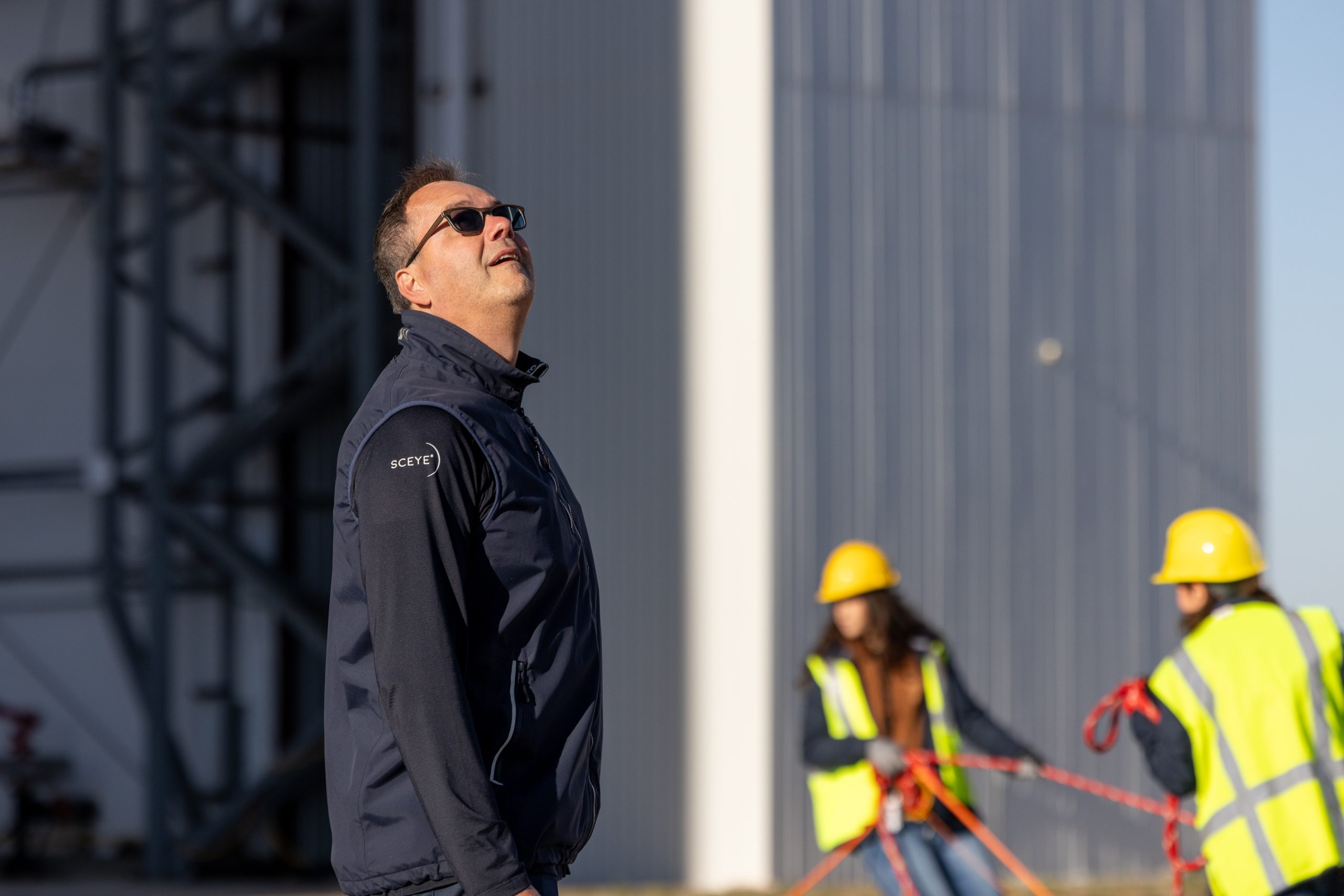
Vestergaard delivered. In 1999, the newly oriented company released PermaNet, a category-defining, long-lasting insecticidal canopy. The product quickly became a cornerstone of one of the largest public health campaigns in history — a decade-long, multibillion-dollar effort to end malaria deaths in Africa that distributed over two billion nets and saved the lives of more than seven million children. Among the campaign’s chief architects was Helena Managing Partner Protik Basu; the collaboration marked the beginning of a working relationship that has now spanned more than two decades. In 2023, Vestergaard distributed its one billionth net.

A second public health intervention had been gestating even longer. In 1994, the Carter Center approached the company to help combat Guinea worm disease, a parasitic illness spread through contaminated drinking water. Vestergaard developed a rugged mesh filter that could strain the larvae from open water sources, then distributed more than 40 million units to endemic communities. The impact was historic. The campaign systematically dismantled the disease, collapsing cases from 3.5 million across 21 countries in 1986 to just 15 isolated cases in four countries by the end of 2021. Today, Guinea worm is poised to become the first disease in human history to be entirely eradicated without the use of a medical vaccine.
The work pointed Vestergaard toward a broader filtration challenge. In 2005, the company released LifeStraw, a portable purifier that draws contaminated water through hollow-fiber membranes whose microscopic pores block pathogens by size – without the use of chemicals or electricity that standard filtration systems rely on. The device won Time’s Best Invention award that year and entered the permanent collection of the Museum of Modern Art. Tens of millions of units have since been deployed in schools, clinics, and crisis zones around the world.
Frandsen had a name for the model: “humanitarian entrepreneurship“. Design products for the developing world or for urgent human need, then reinvest the profits into the next innovation, continuing the cycle. Under his leadership, Vestergaard’s profits grew fifty-fold, and its products have protected hundreds of millions of people.
In 2014, Frandsen founded Sceye.
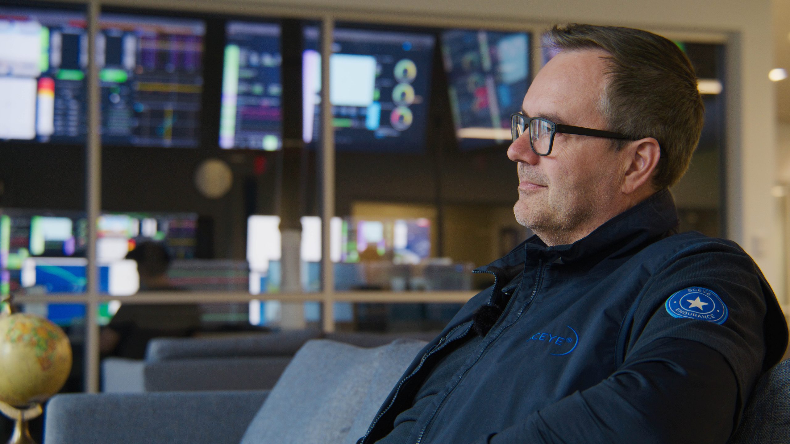
The stratosphere was new territory, but the logic was familiar: identify a critical challenge and answer it through material innovation. Skyward, Frandsen sensed the potential to scale humanitarian interventions to a global population.
Built to Hold
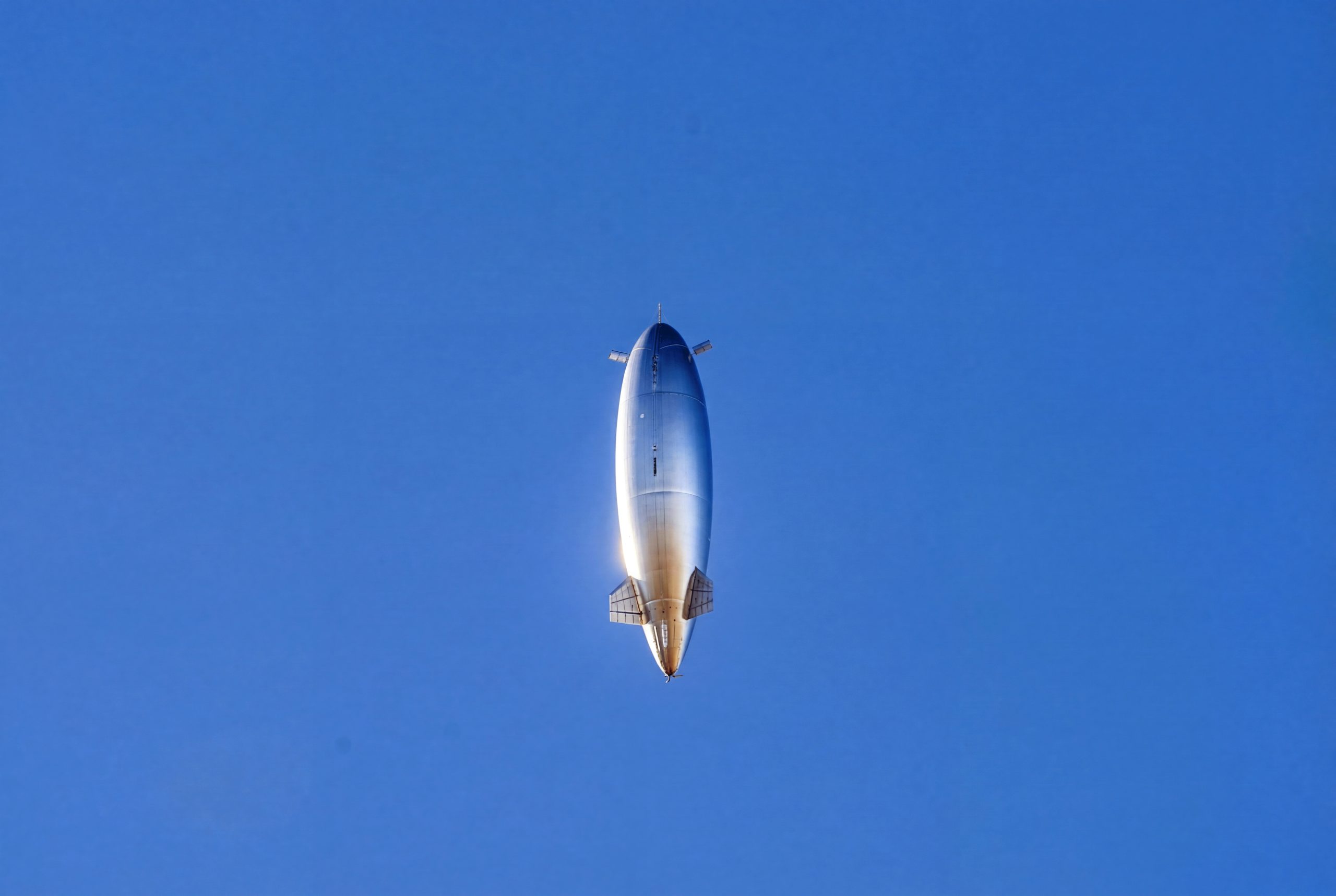
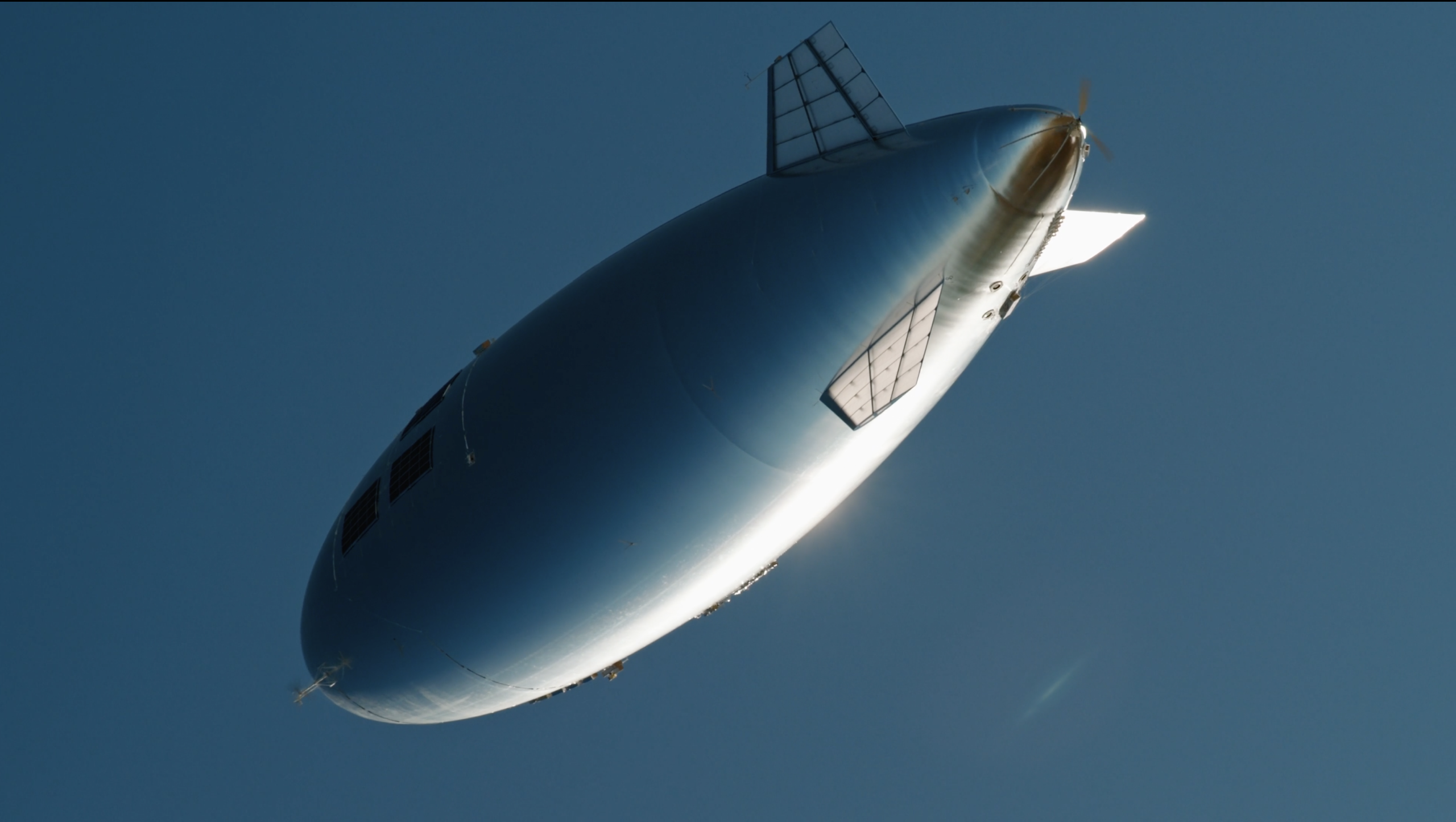
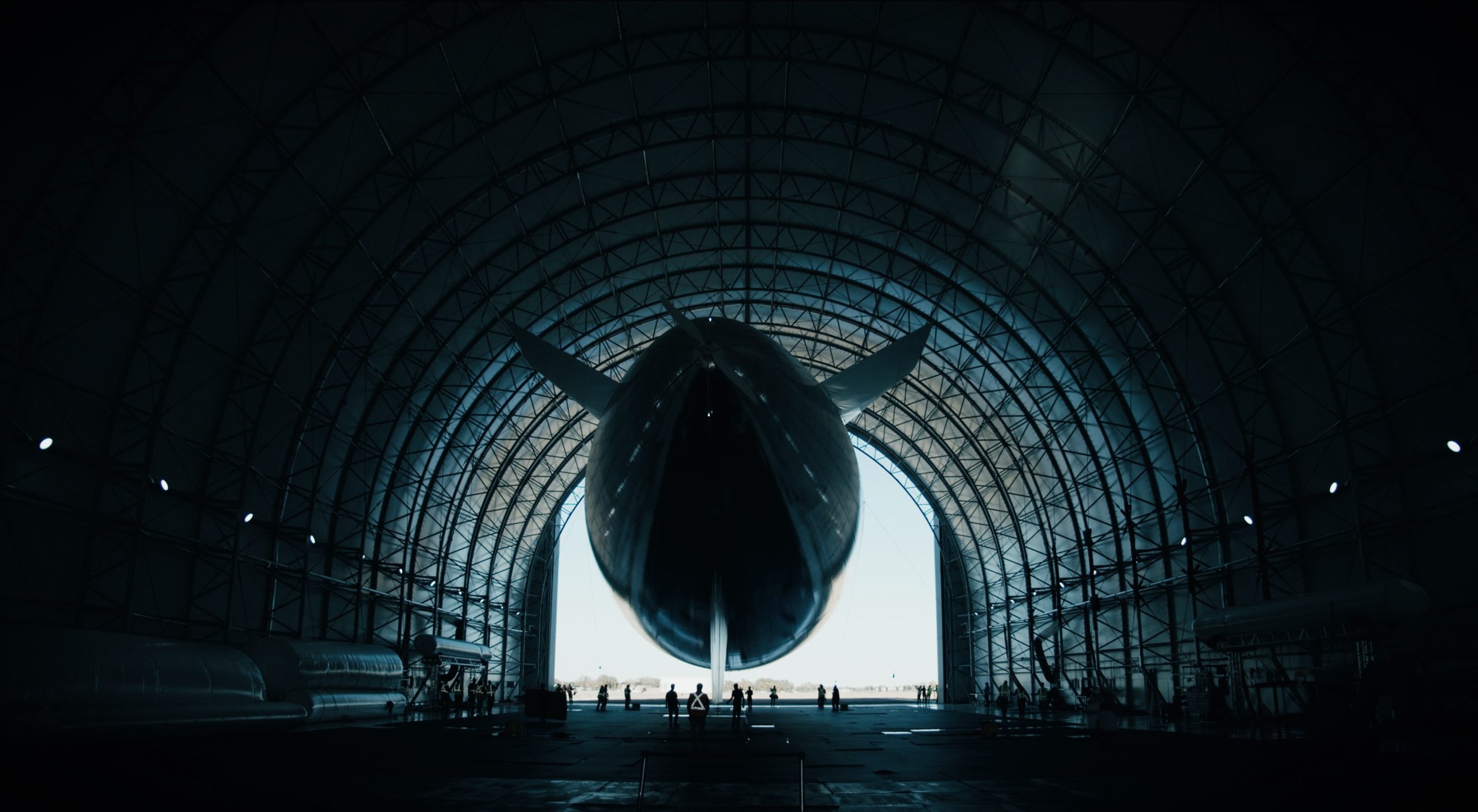
Sceye’s HAPS are up to 270 feet long today, and look as if they’ve been encased entirely in burnished silver. They fly at altitudes between 50,000 and 65,000 feet – above weather, above air traffic, inside the thin, wind-swept layer of upper air. It is best understood as a rebuttal, component by component, to the physics that defeated every craft that came before.
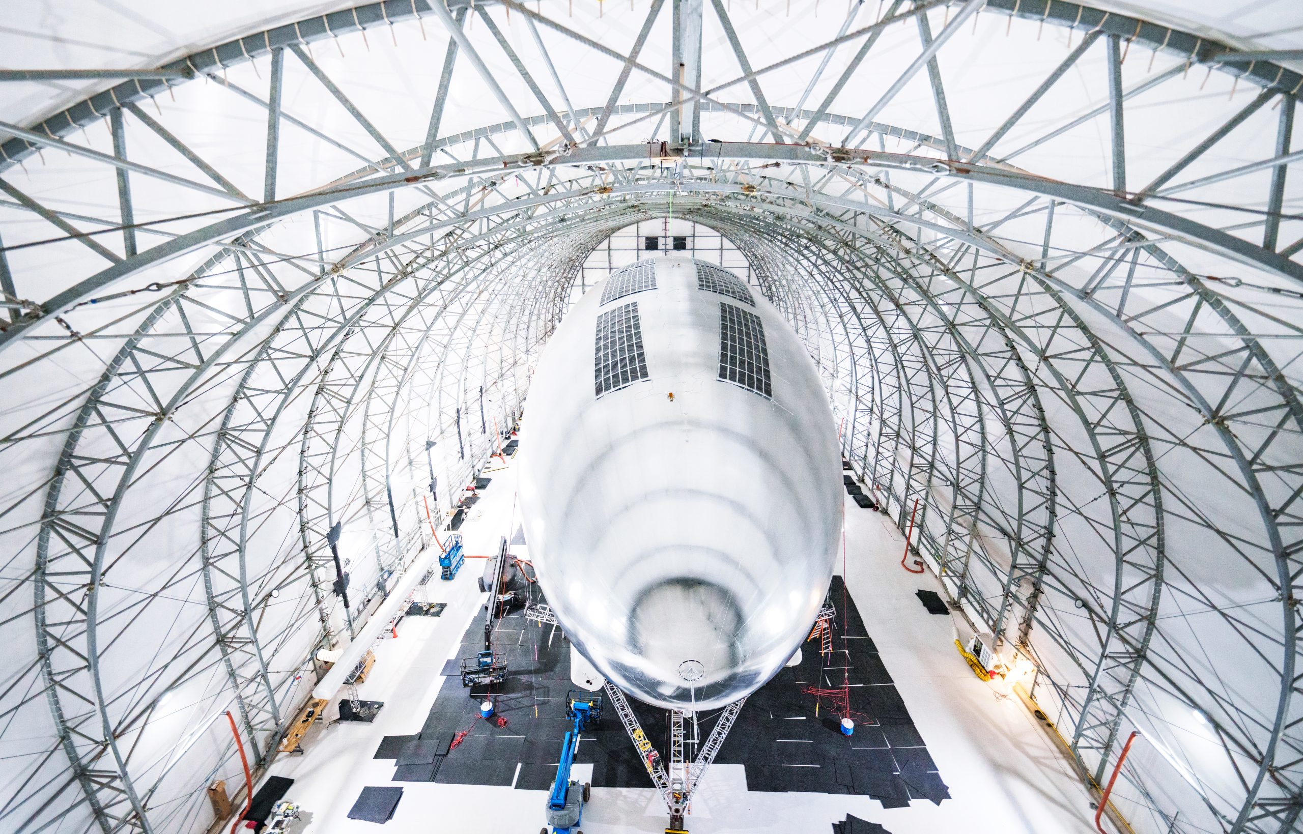
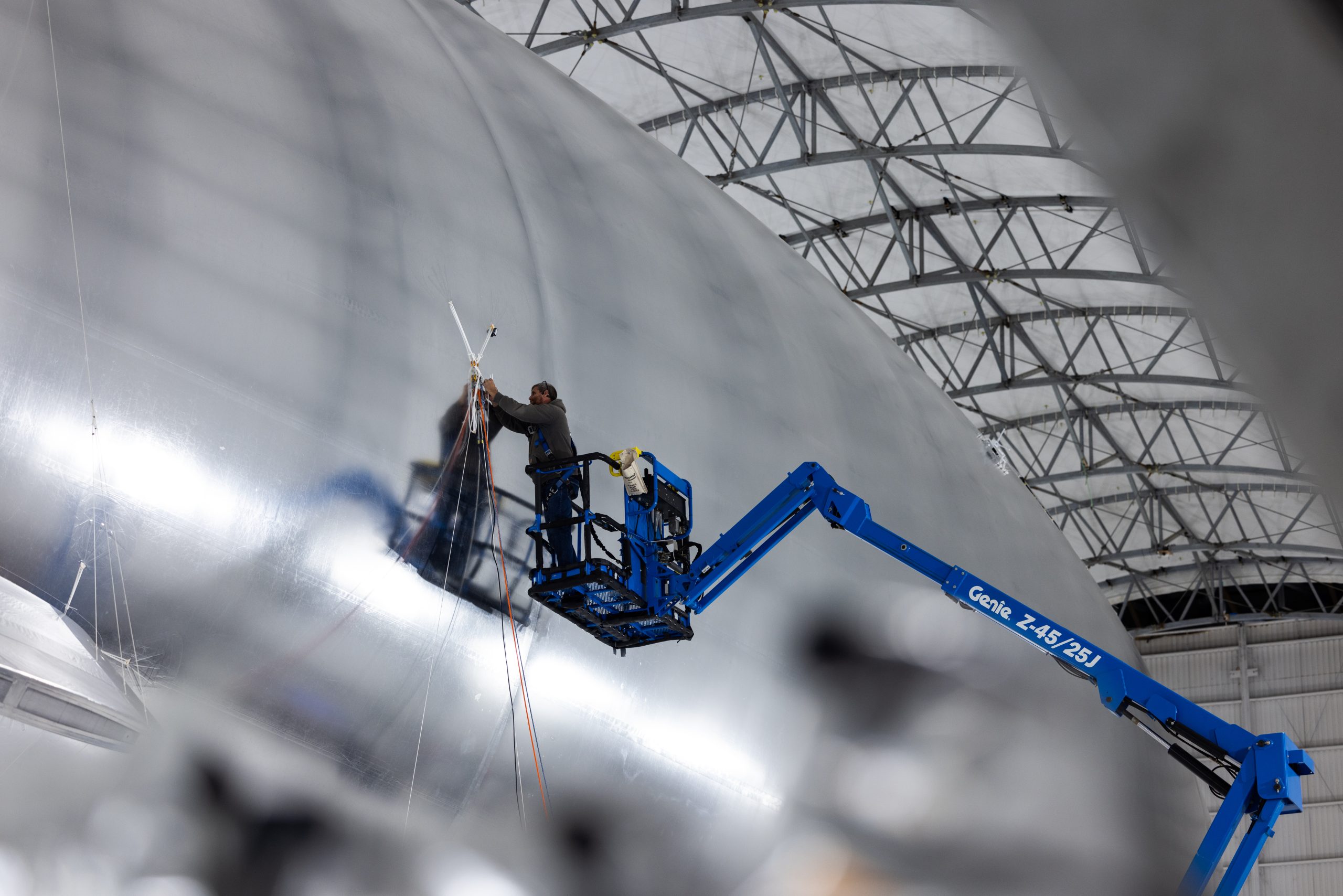
Its proprietary SceyeSKIN, which comprises the platform’s hull, is the company’s foundational invention and the clearest inheritance of Frandsen’s career in textiles. It is five times stronger per unit mass than conventional HAPS materials, 1,500 times more gas-tight, and can withstand the intense ultraviolet and ozone exposure that degrades ordinary fabrics at altitude.
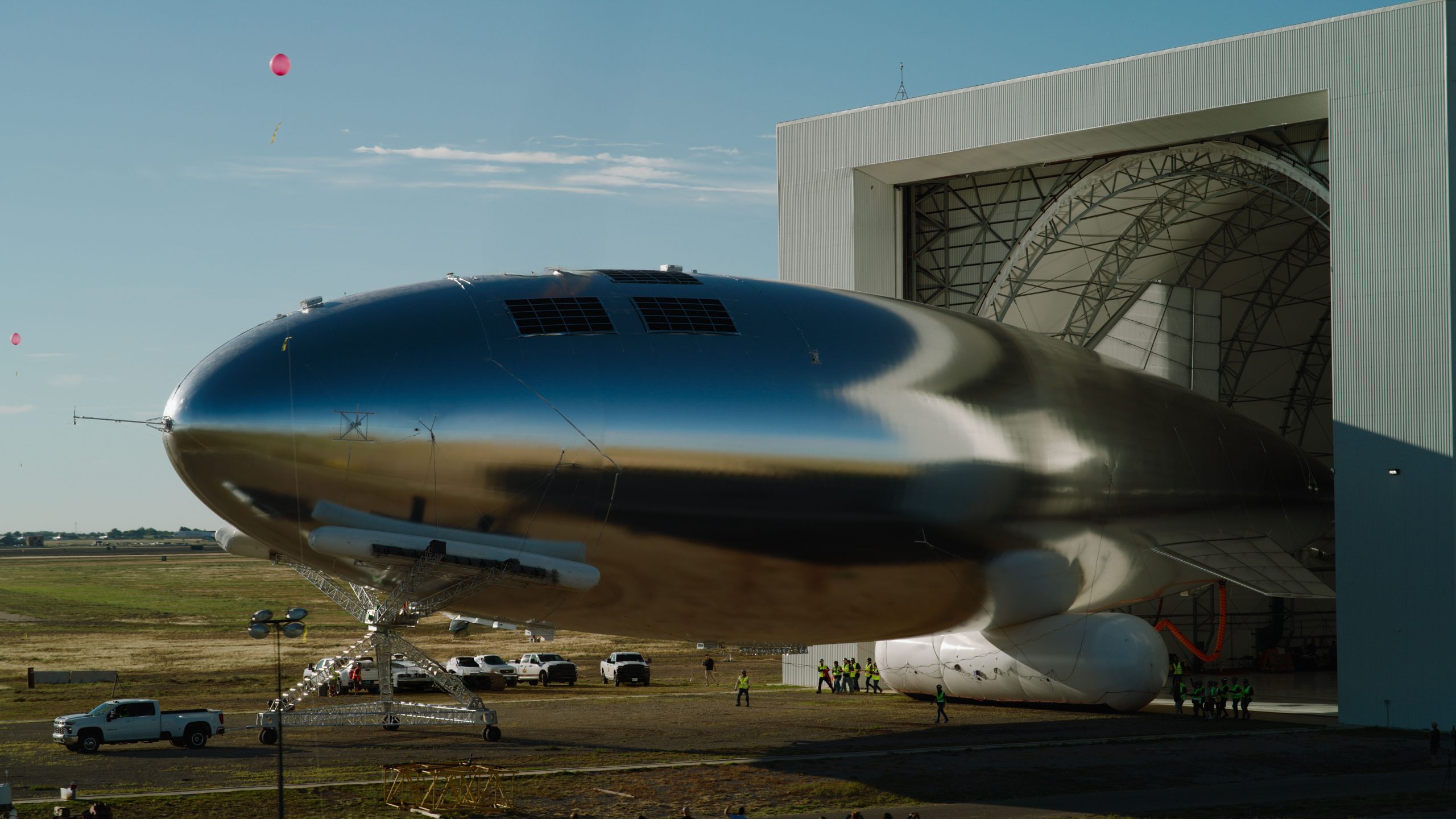
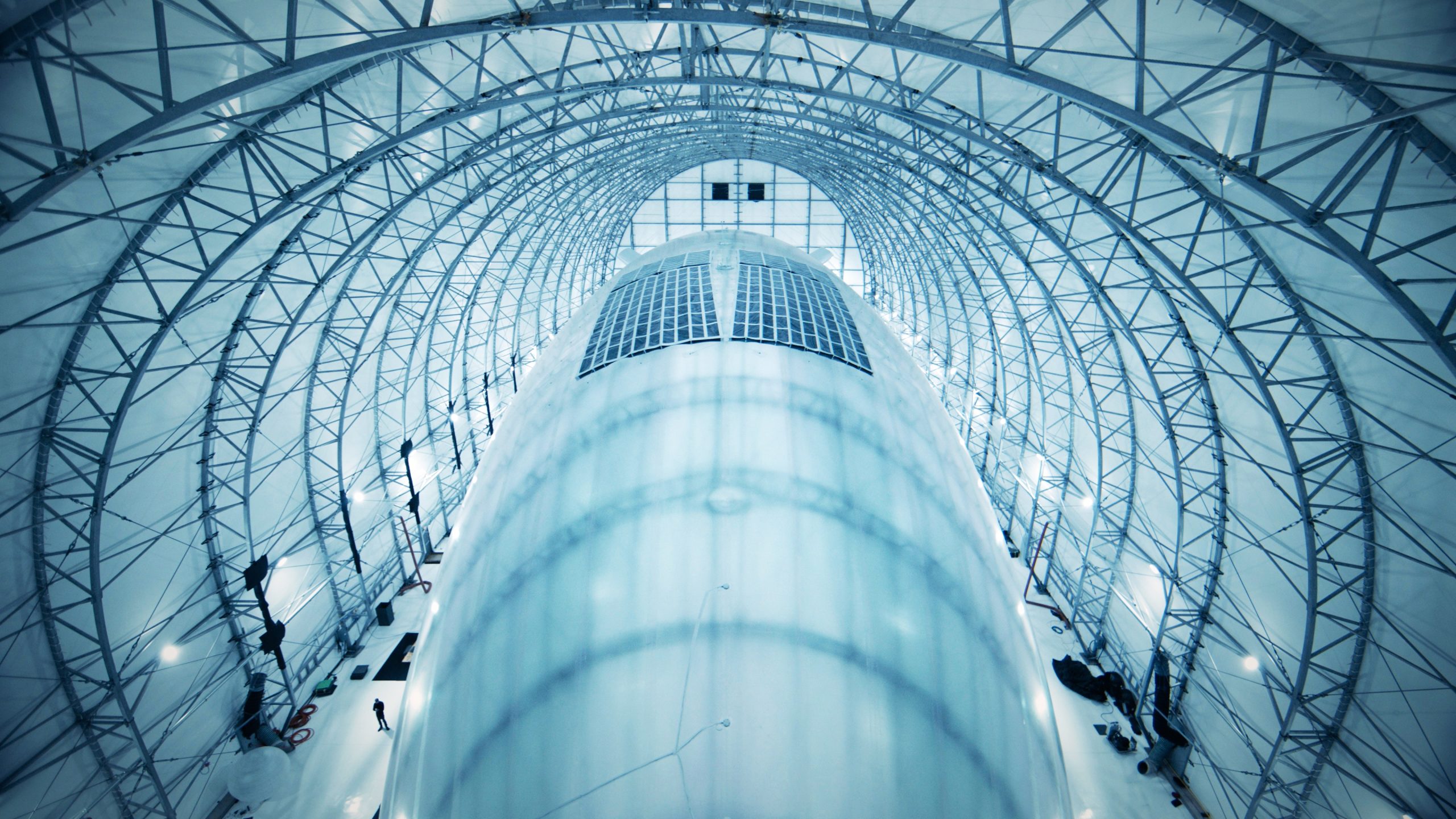
Across the top of the hull runs a second innovation: a membrane of proprietary solar cells. By day, the array powers the platform’s systems while charging an onboard battery stack; by night, those batteries drive the electric, tail-mounted propeller that holds the ship in position against stratospheric winds.
Together, SceyeSKIN and the solar arrays unlock a third breakthrough: capacity. With a payload of up to 250 kilograms, (roughly 25 to 50 times more than any competing stratospheric platform), a single Sceye HAPS can host heavy telecommunications hardware and a full suite of sensing equipment. That lift is what turns the platform from a scientific instrument into viable infrastructure.
SceyeCELL, the platform’s stratospheric antenna, operates on the same low- and mid-band frequencies used by commercial mobile networks. Because the protocols are native, an ordinary smartphone, laptop, or medical device on the ground connects to the HAPS exactly as it would to a terrestrial tower, no special hardware required. A single platform can replace the coverage of up to 500 ground-based cell towers. Its reach extends beyond remote communities to maritime corridors, where ships depend on satellite links compromised by weather and distance.
These core innovations enable the airship to carry an arsenal of mission-specific scanners and cameras capable of ongoing, high-resolution surveillance of terrain and critical infrastructure. From its fixed position, the platform can monitor a high-risk forest for the thermal signature of ignition, track the erosion of a pipeline or bridge over time, scan crops and livestock to ensure food security, or map emissions in real time.
And unlike a satellite, the HAPS returns home between missions. Sceye maintains every platform from the ground, then recovers it and refurbishes as many elements as possible in the support of a more sustainable approach to aerospace.
Power, Pressure, Position
Sceye’s trajectory from structural concept to flight-proven utility was defined by a rapid, iterative march through aviation milestones.
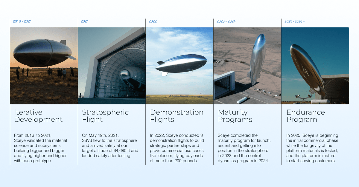
In 2021, an Sceye HAPS climbing to 64,600 feet became the first of its kind to connect a 4G antenna directly to a standard smartphone on the ground, setting a record for long-range LTE connectivity at 140 kilometers. Shortly after, Sceye partnered with a consortium of New Mexico telecommunications companies and tribal entities, including Sacred Wind Communications, Santa Fe Indian School, and Navajo Technical University, to bridge the digital divide for the Navajo Nation. Flying over a 6,000-square-mile territory, the platform delivered 100 Mbps download speeds directly to homes, schools, and clinics in a region where 60 percent of residents lacked fixed internet access.
The following year, carrying Explorers Club flag #210 – the very flag that had traveled to the bottom of the Mariana Trench, the wreck of the Titanic, and the South Pole – a Sceye HAPS completed the first full 24-hour diurnal flight in the history of helium platforms. The single day-to-night cycle, powered by solar panels and on-board batteries, was only a prelude. In 2024, Sceye crossed a defining threshold: closing the power loop by generating and storing enough solar energy to keep the platform aloft through repeated day to night cycles without losing altitude, position, or control.
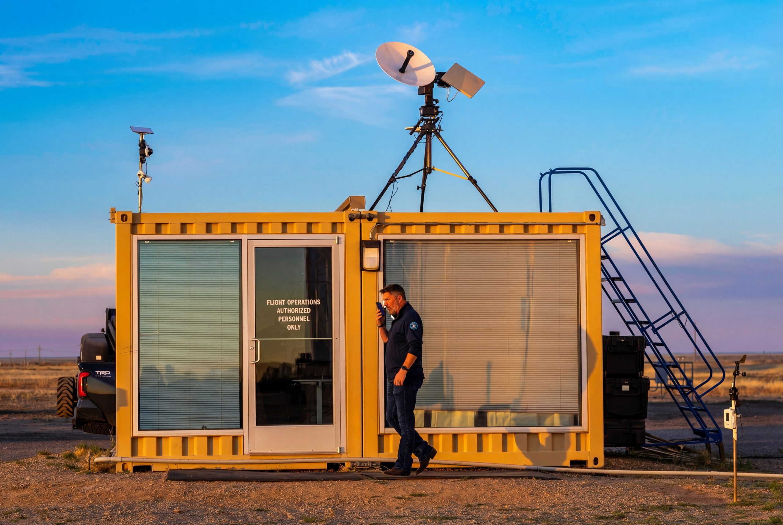
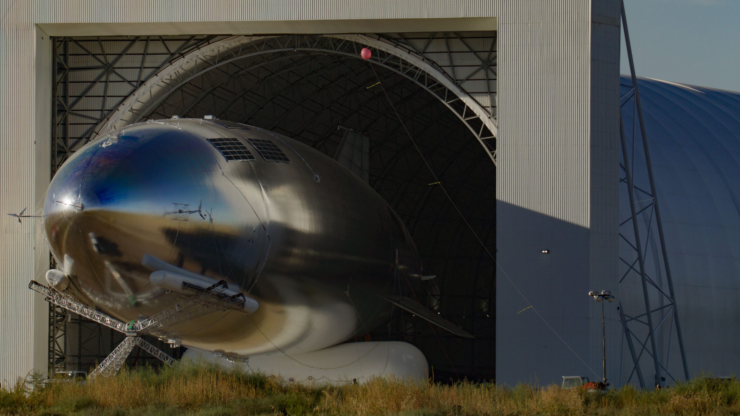
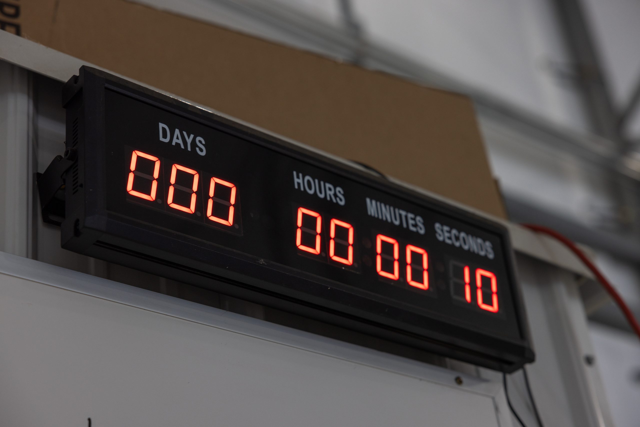
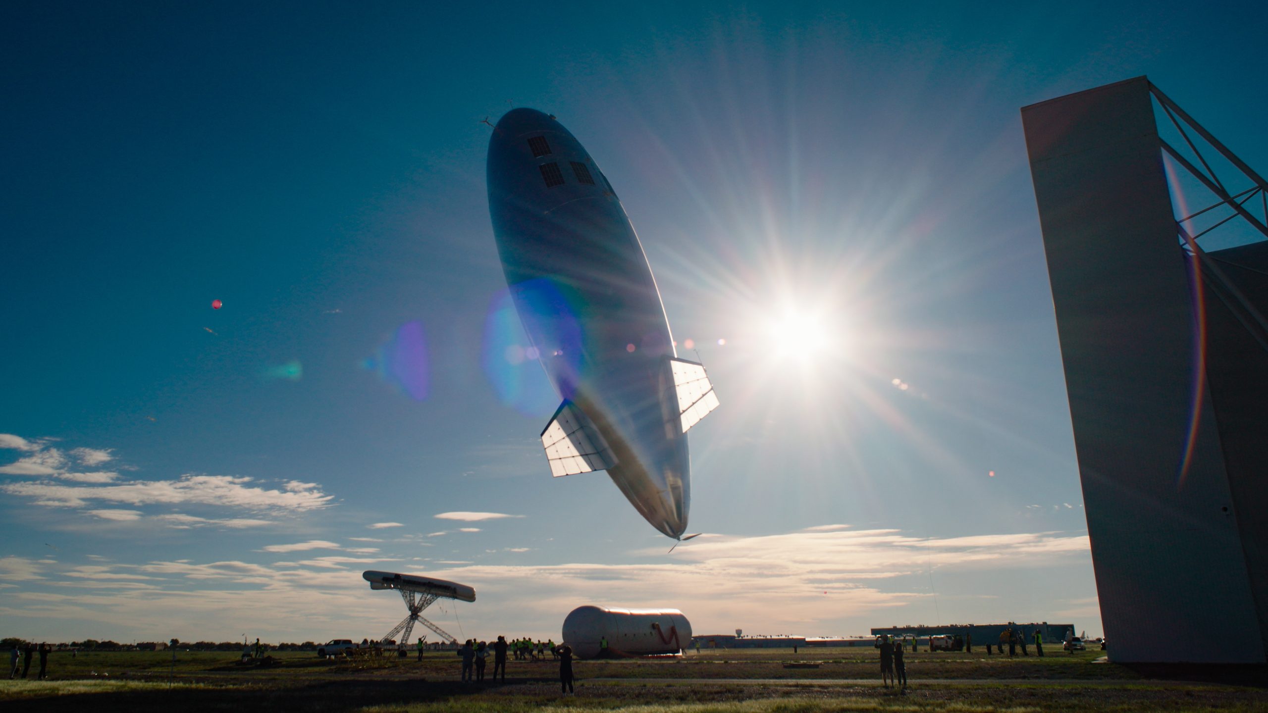
These historical firsts converged during the historic 2026 SE-2 mission to Brazil.
By completing the 12-day transit and logging over 88 hours of station-seeking along the way, it conclusively closed the pressure loop, solving the final piece of a dual engineering cycle that had grounded a century of stratospheric ambition.
Following the SE-2 endurance validation, Sceye then launched its Service Test Program in August 2026 with the Service Test 1 (ST1) mission.
In partnership with SoftBank Corp., the platform completed a 15,000-kilometer trans-Pacific transit from New Mexico to Japan in 13 days. Holding a station-keeping radius as tight as 5 kilometers within Japanese airspace, ST1 demonstrated mobile broadband directly to unmodified standard devices, delivering voice, text, video streaming, and disaster alerts while bridging air-to-ground networks via communications with drones.
The mission also achieved a global first in stratospheric computing: processing data on an onboard HAPS server to achieve a 68-millisecond response time, cutting communications latency by over 40% compared to traditional cloud processing. Proving that a single platform can deliver the coverage equivalent of roughly 500 terrestrial towers, the ST1 flight marked Sceye’s transition from technical endurance to commercial deployment.
Helena’s partnership with Sceye, built on a multi-year engagement with Frandsen and close observation of the company’s progression through each phase of technical development, is the culmination of a shared vision: the belief that the stratosphere is not a destination but a foundation. As Sceye advances from historic milestones to operational deployment, Helena is helping carry that vision into the world – extending Frandsen’s model of humanitarian entrepreneurship from lifesaving products on the ground to a network designed to serve billions from above.
Fire Complex: Two or more wildfires burning in the same general area and managed as a single incident. The fires may remain separate or eventually merge.
The region of space closest to Earth, extending from roughly 100 to 1,200 miles above the surface. Satellites in low Earth orbit move rapidly around the planet rather than remaining fixed over one location.
Satellites positioned about 22,000 miles above Earth that orbit at the same rate the planet rotates. This allows them to remain fixed over the same point on the surface.
The weakening of a radio signal as it travels through open space and spreads over a larger area.
The delay between sending a signal and receiving a response. The farther the signal must travel, the longer the delay.
Closing the power loop: Generating enough solar energy during the day to power the airship and charge its batteries for continuous operation through the night, allowing the cycle to repeat.
Closing the pressure loop: Maintaining stable pressure inside the airship as the lifting gas expands and contracts with temperature changes over each day-and-night cycle.
Helena’s purpose is to identify solutions to global problems and implement them through projects. Each project is a separate, unique effort.
Sometimes, we believe that the most effective method to implement a project is through for-profit action, including investment and/or the founding and operation of businesses.
These projects are designated as “profit” on their associated project pages on this website. This page is an example of such a project.
To implement efforts through for-profit means, entities(s) including Helena Special Investments, LLC, a privately-owned limited liability company that operates in business activities that have the potential to transformatively address societal problems while targeting attractive returns to investors, are utilized.
Helena’s purpose is to identify solutions to global problems and implement them through projects. Each project is a separate, unique effort.
Sometimes, we believe that the most effective method to implement a project is through non-profit action. These projects are designated as “non-profit” on their associated project pages on this website. This page is an example of such a project.
In these cases, Helena operates projects that are led and funded through non-profit entitie(s), including Helena Group Foundation. Helena Group Foundation is a nonprofit, 501(c)(3) organization formed to conceive and operate projects that solve important global issues for the benefit of society.